365 items in this album on 19 pages.
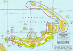 |  |
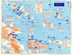
| Map noting Japanese dispositions at New Britain, Bismarck Archipelago, 30 Nov 1943 | 1944 United States Army map of Choiseul Island, the northernmost of the Solomon Islands. |
 | 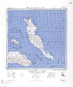 |
| 1944 United States Army map of Efate Island in the New Hebrides (now Vanuatu). | 1944 United States Army map of Malaita Island and the eastern end of Guadalcanal in the Solomon Islands. |
 |  |
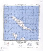
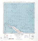
| 1944 United States Army map of New Georgia and Rendova Islands with a portion of the Solomon Sea in the Solomon Islands. | 1944 United States Army map of northern Bougainville and Buka Island in the Bismarck Archipelago. |
 | 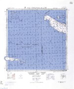 |
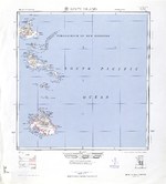
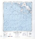
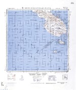
| 1944 United States Army map of northern Santa Isabel Island in the Solomon Islands. | 1944 United States Army map of San Cristobal and Rennell Islands with a portion of the Coral Sea in the Solomon Islands. |
 | 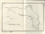 |
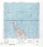
| 1944 United States Army map of southern Bougainville and the Treasury Islands in the Bismarck Archipelago. | 1944 United States Navy chart of Kwajalein Atoll, Marshall Islands. |
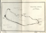 |  |
| 1944 United States Navy chart of Majuro Atoll, Marshall Islands. | Captured Nazi German document showing the shipyard plan for Deutsche Werke Gotenhafen, Gdynia, occupied Poland, 1944 |
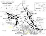 | 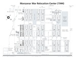 |
| Coastal Fortifications on Oahu, Hawaii, 1944. | Diagram showing the layout of the Manzanar Relocation Center for deported Japanese-Americans, Inyo County, California, United States, 1944. |
 | 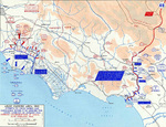 |
| Map noting engagements in the Solomon Islands and New Guinea, late 1943 to early 1944 | Map of Anzio-Cassino area in Italy, 17 Jan-19 Feb 1944 |
 |  |
| Map of Burma-China-India roads, railroads, airfields, and oil pipelines, Oct 1943-Oct 1944 | Map of northern Burma, late 1943-early 1944 |
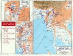 | 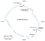 |
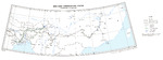
| Map of situation in India and Burma, Nov 1943-May 1944 | Feb 1944 United States Army map of Eniwetok Atoll in the Marshall Islands. |
365 items in this album on 19 pages.
Change View
Desktop ViewSearch WW2DB
News
- » US Women's Army Corps "Six Triple Eight" Awarded with Congressional Gold Medal (30 Apr 2025)
- » Wreck of Soviet Submarine M-49 Found (10 Apr 2025)
- » Japanese Emperor Visited Iwoto (Iwo Jima) (8 Apr 2025)
- » Race, Holocaust, and African-American WW2 Histories Removed from the US Naval Academy Library (7 Apr 2025)
- » US Government Plans to Purge WW2 Information (17 Mar 2025)
- » See all news
Random Photograph
Current Site Statistics
- » 1,167 biographies
- » 337 events
- » 44,615 timeline entries
- » 1,244 ships
- » 350 aircraft models
- » 207 vehicle models
- » 376 weapon models
- » 123 historical documents
- » 261 facilities
- » 470 book reviews
- » 28,516 photos
- » 365 maps
Famous WW2 Quote
"The raising of that flag on Suribachi means a Marine Corps for the next 500 years."James Forrestal, Secretary of the Navy, 23 Feb 1945