| Historical Information | ||||||||||
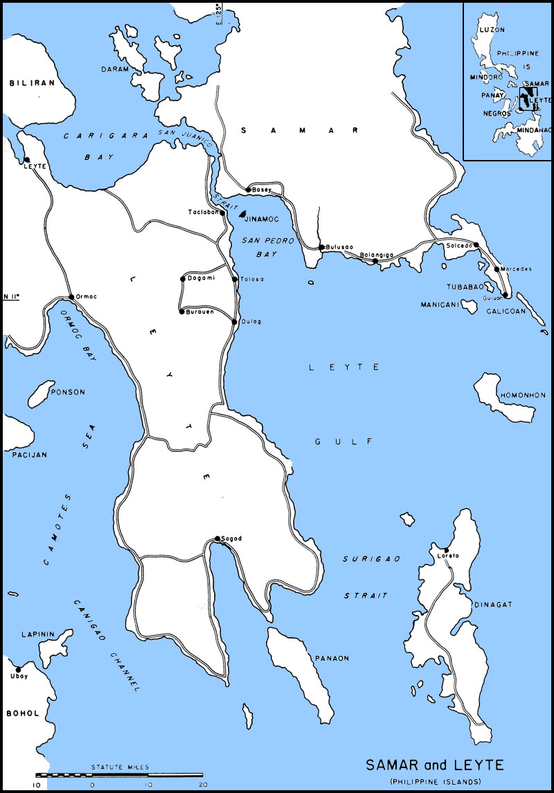
| Caption | Map of Leyte Gulf, Philippine Islands ww2dbase | |||||||||
| WW2-Era Location Name | Leyte, Philippines | |||||||||
| Date | ||||||||||
| Photographer | Unknown | |||||||||
| Source Information | ||||||||||
| Source | ww2dbaseUnited States National Archives | |||||||||
| Related Content | ||||||||||
| More on... |
| |||||||||
| Colorized By WW2DB |
Colorized with Adobe Photoshop |
|||||||||
| Licensing Information | ||||||||||
| Licensing | Public Domain. According to the US National Archives, as of 21 Jul 2010: Please contact us regarding any inaccuracies with the above information. Thank you. |
|||||||||
| Metadata | ||||||||||
| Added By | David Stubblebine | |||||||||
| Photo Size | 800 x 1,145 pixels | |||||||||
Please consider supporting us on Patreon. Even $1 per month will go a long way! Thank you. Please help us spread the word: Stay updated with WW2DB: |
Change View
Desktop ViewSearch WW2DB
Map
WW2-Era Location Name:Leyte, Philippines
Latitude-Longitude:
10.8798, 125.3566
Random Photograph
Current Site Statistics
- » 1,169 biographies
- » 337 events
- » 44,835 timeline entries
- » 1,244 ships
- » 350 aircraft models
- » 207 vehicle models
- » 376 weapon models
- » 123 historical documents
- » 261 facilities
- » 470 book reviews
- » 28,516 photos
- » 365 maps
Famous WW2 Quote
"All that silly talk about the advance of science and such leaves me cold. Give me peace and a retarded science."Thomas Dodd, late 1945