432 items in this album on 22 pages.
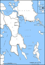 | 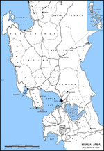 |
| Map of Leyte Gulf, Philippine Islands | Map of Luzon, Philippines from Lingayen Gulf to Manila Bay |
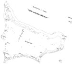 | 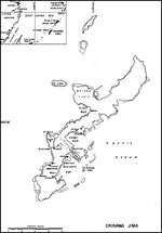 |
| Map of Makin Atoll (now Butaritari Atoll) | Map of Okinawa, Japan |
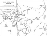 | 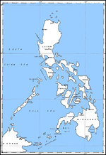 |
| Map of the China-Burma-India Theater highlighting the Burma and Ledo Roads to Chungking | Map of the Philippine Islands |
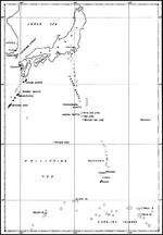 | 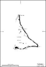 |
| Map of the Philippine Sea from Japan to the Carolines | Map of the Tarawa Atoll, Gilbert Islands |
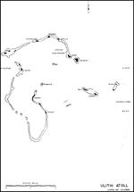 |  |
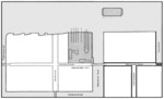
| Map of Ulithi Atoll, Caroline Islands | Earliest known shipyard plan of Rickmers shipyard, Bremerhaven, Germany, 1847 |
 |  |
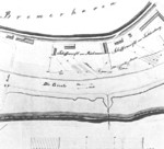
| Earliest known shipyard diagram of H. C. StĂĽlcken Sohn of Hamburg, Germany, 1853 | Drawing of the shipyard later known as Reiherstiegwerft, Hamburg, Germany, 1859 |
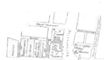 |  |
| Drawing of the shipyard later known as Reiherstiegwerft, Hamburg, Germany, 1859 | Shipyard modernization plan of Rickmers shipyard, Bremerhaven, Germany, drawn in 1860 |
 | 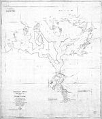 |
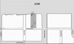
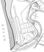
| Shipyard modernization plan of Rickmers shipyard, Bremerhaven, Germany, drawn in 1862; note five longitudinal slips planned and without the horizontal slip | 1873 United States Navy map of Pearl Harbor, Hawaii before any harbor improvements had been made. Note that it is labeled Pearl Lochs and the opening is called the mouth of a river. |
 | 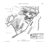 |
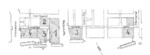
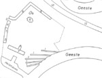
| Plan of H. C. StĂĽlcken Sohn shipyard of Hamburg, Germany, 1873; note enlarged water front | Plan of Howaldtswerke Kiel shipyard, 1878 |
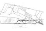 |  |
| Bremer Vulkan shipyard drawing, circa 1886 | Plan of the old yard of Flensburger Schiffbau, Flensburg, Germany, 1890 |
432 items in this album on 22 pages.
Change View
Desktop ViewSearch WW2DB
News
- » WW2DB's 19th Anniversary (29 Dec 2023)
- » Looted Painting "Madonna with Child" Returned to Poland (2 Jun 2023)
- » Wreck of USS Mannert L. Abele Found (29 May 2023)
- » Wreck of Montevideo Maru Found (25 Apr 2023)
- » Accidental Detonation of a WW2-Era Bomb in Great Yarmouth (10 Feb 2023)
- » See all news
Current Site Statistics
- » 1,146 biographies
- » 336 events
- » 43,422 timeline entries
- » 1,237 ships
- » 349 aircraft models
- » 207 vehicle models
- » 372 weapon models
- » 123 historical documents
- » 259 facilities
- » 468 book reviews
- » 28,395 photos
- » 432 maps
Famous WW2 Quote
"All that silly talk about the advance of science and such leaves me cold. Give me peace and a retarded science."Thomas Dodd, late 1945